Saundersfoot is the next harbour along Carmarthen Bay, not a different holiday. From the centre of Tenby it is 4.3 kilometres in a straight line. The Pembrokeshire Coast Path makes more of that, because the path climbs every headland the road ignores.
The tunnels people photograph are not on that walk. They sit north of Saundersfoot, on the old coal tramway toward Coppet Hall and Wiseman’s Bridge. Treat Tenby to the harbour as one outing and the tunnels as the next, or you will plan the wrong morning.
Walk north from Tenby harbour. The National Park’s own figure for Tenby to Saundersfoot is 3.5 miles, with 342 steps, eleven wicket gates and repeated descents from a 60-metre cliff top. Gradients reach 1:1. It is not the flat hour some blogs sell. Come back on the 351 or 381 from the Arcade stop, or on the Pembroke Dock branch from Saundersfoot station — knowing the station is not the harbour. If you want the tunnels, keep going on the level tramway once you are there, and check it is open.
The tide decides whether you can cheat on the sand. National Rail and Traveline Cymru decide the last ride home. On Sunday 13 September 2026 IRONMAN Wales uses these roads; Transport for Wales is blunt about taking the train.
Start at Tenby harbour, with Castle Hill on the rock and Castle Beach on the other side of the headland. The Coast Path through town is not tightly waymarked. The National Park’s recommended line follows the cliff-edge promenades and linking lanes rather than dropping onto the sand, though plenty of people use North Beach when the water is out.
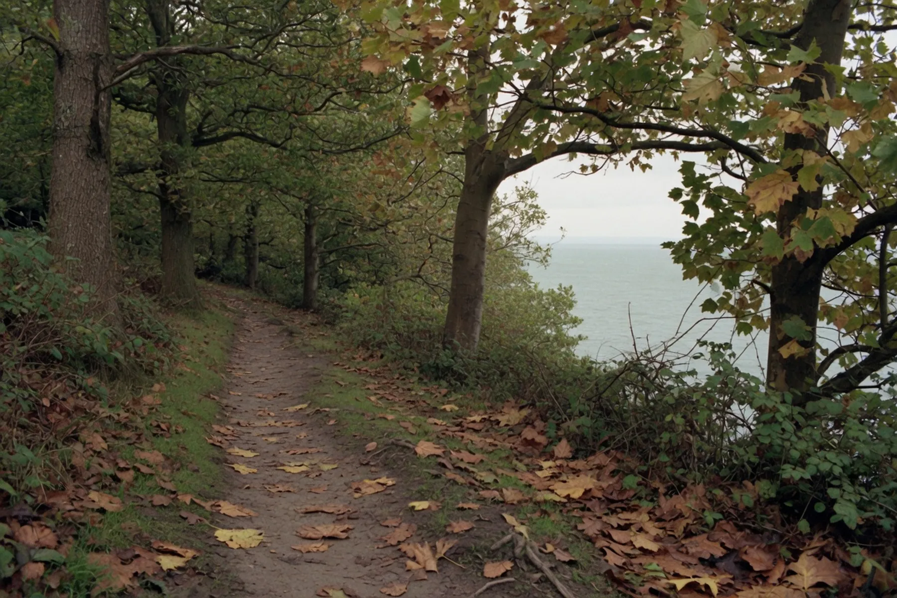
Once you leave the terrace the character changes. The National Park calls this stretch “a very rugged section of mixed woodland and open countryside.” You drop to sea level and climb again. This is the opposite of the tramway walk later, which was built for horses pulling coal wagons and so stays almost level. Take the acorn waymarks. The walks guide is the wider coast.
Waterwynch is the first named beach: a small sandy cove with a pebble bank and a high wall, opening onto larger bays when the tide is out. The National Park says not to sunbathe under the cliffs — falling rock — and that on the days with the biggest tidal range you can walk the beach from Waterwynch back to Tenby at low water. At high water the beaches shrink and you can be trapped against unstable cliff.
Monkstone Point has two lines: a short cut and a peninsula route with the view back to Tenby. The National Park notes some of the most obvious coastal landslides on the whole path here, which is why the line has been moved inland more than once. Swallowtree, further on, is a cove at high water and joins Saundersfoot when the tide is out. Between Tenby and Amroth the path is often in woodland, with traces of coal working beside it.
Saundersfoot exists because of anthracite. The National Park puts the harbour as completed by 1834. Cadw’s listing for the south railway tunnel records an Act of Parliament in 1829, the south tunnel in use by 1832, the others by 1834. By 1864 more than 30,000 tons of coal a year were leaving here; by the 1880s the figure was approaching 100,000. The last cargo sailed in 1939. The rails were scrapped the same year.
What you walk into now is a Trust Port with private moorings, trip boats in season and a car park on the frontage. Saundersfoot Harbour publishes the practical arrival: the Arcade bus stop on Milford Street is a minute from the harbour entrance. That is the stop to aim at. Do not treat the railway station as a drop at the sand.
Visit Pembrokeshire is the page to trust for the sand: a wide, flat beach at low tide that still has room at high water, which is the opposite of Tenby’s North Beach. On the biggest low tides the National Park says the unbroken sand toward Amroth can reach five miles.
Access at the north end is a concrete slipway — Visit Pembrokeshire’s own figures: 36 metres, mostly no steeper than 1:12, with 13 metres in the middle at 1:6 to 1:5. Glen Beach, at the harbour end, has a zigzag ramp. A beach wheelchair can be hired; book it.
Dogs: from 1 May to 30 September restrictions cover the whole of Saundersfoot beach except a small strip just before Coppet Hall. Coppet Hall, on the Hean Castle Estate, keeps the area north of the central steps dog-free 10am to 5pm in the same months; from those steps back toward Saundersfoot dogs are allowed. The signs and the Visit Pembrokeshire maps are the current authority. Guide dogs are welcome all year. After 30 September the seasonal rule lifts.
Lifeguards: the RNLI patrolled Saundersfoot daily 4 July to 6 September 2026, 10am to 6pm. That season has ended. No flags means no lifeguards.
North of the harbour the Coast Path picks up the Saundersfoot Railway. Cadw lists three Grade II tunnels — south, middle and north — on the pedestrian route between Saundersfoot and Wiseman’s Bridge. They are the only tunnels on the entire Wales Coast Path. The south tunnel, which joins The Strand to Coppet Hall, is about 50 metres long and 2.4 metres wide, lined in local Carboniferous sandstone where the rock needed it.
That is the level walk. The National Park grades the Dramway from Coppet Hall toward Wiseman’s Bridge as a surfaced path to pavement-wheelchair standard, 1.225 kilometres, because it was a horse-drawn railway first. It is also the stretch that keeps closing. The same page says the route is occasionally closed for cliff stabilisation. A rock fall shut it on 12 July 2026; it reopened the next morning. Check locally, or Pembrokeshire County Council, before you send anyone through a tunnel on the assumption it is open.
Coppet Hall is the sandy bay with the beach centre, the privately run car park and the tramway along the top. Visit Pembrokeshire’s Coppet Hall page is the facilities list. Amroth, where the Pembrokeshire Coast Path ends, is the National Park’s next 3.5 miles.
Tenby and Saundersfoot sit on the same Pembroke Dock branch, run by Transport for Wales. That is the clean car-free return from a one-way walk — if you are willing to walk to the station.
Saundersfoot Harbour puts the station at 28 minutes from the harbour, and warns that there is no pavement and no street lighting for most of that walk. The nearest bus stop to the station is Pentlepoir, opposite Hill Park: nine minutes on pavement if you turn right out of the station, then the 351 or 381. Do not arrive at dusk and treat the lane as a pavement.
Times change. National Rail is the timetable, not a paragraph. The without a car piece is the rest of a week on the same branch.
For the harbour itself, the bus is the better tool than the train.
Pembrokeshire County Council’s current list includes the 351 (Tenby–Pendine, via Saundersfoot, Wiseman’s Bridge and Amroth) and the 381 (Tenby–Narberth–Haverfordwest). The X49 runs Haverfordwest–Tenby. The harbour names the Arcade stop as a minute from the entrance. Traveline Cymru and the council bus pages are the documents.
First Bus ran an open-top Explore Tenby & Saundersfoot service from 30 May to 30 August 2026. That season has ended.
If you drove, do not hunt a space on the Strand at eleven. The harbour car park is open 24 hours, all year, with ANPR; pay there, and do not camp overnight in a vehicle. The National Park’s Regency park is about 200 metres from the beach and charges 1 March to 31 October, 9am to 7pm. From 19 March 2026 the council’s published daily rate there is £8; read the board. The Tenby parking guide is the Tenby end of the same problem.
Saundersfoot still has sand at high water. The National Park’s low-water beach can join Swallowtree, Coppet Hall, Wiseman’s Bridge and, on the biggest tides, a long way toward Amroth. The reverse is the trap: Glen Beach to the harbour is walkable except at high tide, on slippery rock, and the recommended alternative uses 600 metres of road with about 250 metres of that without pavement.
Get a tide table on the first morning. Do not start a beach walk to Waterwynch, or from Swallowtree into Saundersfoot, without knowing when the water comes back. A falling tide is the generous day: more sand, and a chance to walk one way on the path and return on the beach if the range is big enough. A rising tide is when you stay on the acorn waymarks.
IRONMAN Wales is on Sunday 13 September 2026. The swim is from Tenby’s North Beach; the bike comes through Saundersfoot village and up St Brides Hill. Check IRONMAN’s own page for the current closures; Transport for Wales advises the train.
Seasonal dog rules on the beach run to 30 September. The RNLI season is already over. The First Bus open-top is over.
Tenby Blues Festival is 13–15 November 2026. The organiser is Tenby Blues; the programme lives there. The Tenby Arts Festival has not posted 2026 dates as of mid-September.
The walk, the harbour and a bus back is the day. Save the tunnels for when the Dramway is actually open. The when to visit page is the wider calendar.